POWPLANET / GEOGRAPHIC REVIEW
Keystone terminal and bowl review
Qualified horizontal landmark spot-check, 2 November 2026. Both ends of all 20 mapped lift sections were compared with independent imagery. No coordinate correction was justified by the sampled evidence. This is not survey control or full geographic certification.
The 40 manually interpreted roof/frame centres or conveyor ends have a median separation of 3.36 m and maximum 12.17 m from the source endpoints. All fall inside a 25 m review tolerance. Picking uncertainty is approximately 10 m; recent imagery declares 8.47 m positional accuracy. Small numerical differences must not be read as metre-level true accuracy.
Lift scope
The sample covers 13 major aerial lifts and seven mapped carpet sections. Sun Kid is split into two sections, Double Barrel has a single mapped centreline, and Triangle has no reviewed geometry. These sections do not reproduce the official physical lift roster.
Show all 40 terminal landmark comparisons
| Mapped lift | Source endpoint | Landmark separation |
|---|---|---|
| Santiago Express | first | 4.00 m |
| Santiago Express | last | 11.84 m |
| Ruby Express | first | 0.34 m |
| Ruby Express | last | 12.17 m |
| Wayback | first | 1.60 m |
| Wayback | last | 0.38 m |
| Outback Express | first | 5.83 m |
| Outback Express | last | 7.30 m |
| Outpost Gondola | first | 2.49 m |
| Outpost Gondola | last | 5.22 m |
| Bergman Express | first | 6.81 m |
| Bergman Express | last | 4.29 m |
| Discovery | first | 6.18 m |
| Discovery | last | 1.02 m |
| A-51 | first | 7.79 m |
| A-51 | last | 4.42 m |
| Peru Express | first | 7.87 m |
| Peru Express | last | 0.92 m |
| Montezuma Express | first | 9.24 m |
| Montezuma Express | last | 6.25 m |
| River Run Gondola | first | 12.03 m |
| River Run Gondola | last | 4.27 m |
| Summit Express | first | 5.45 m |
| Summit Express | last | 9.32 m |
| Ranger | first | 1.38 m |
| Ranger | last | 1.95 m |
| Sun Kid Lower | first | 1.59 m |
| Sun Kid Lower | last | 1.70 m |
| Sun Kid Upper | first | 1.00 m |
| Sun Kid Upper | last | 1.65 m |
| Double Barrel | first | 0.53 m |
| Double Barrel | last | 0.41 m |
| Kokomo | first | 3.63 m |
| Kokomo | last | 3.09 m |
| Mid-Station Ski School | first | 2.15 m |
| Mid-Station Ski School | last | 0.41 m |
| Cadillac | first | 1.43 m |
| Cadillac | last | 2.66 m |
| Tubing Hill | first | 2.65 m |
| Tubing Hill | last | 7.24 m |
Bergman and Erickson bowls
- Bergman Bowl: all 13 operator-listed names matched to source routes, retaining OSM aliases.
- Erickson Bowl: all 3 operator-listed names matched to source routes, retaining OSM aliases.
Bergman routes occupy the northern side of the ridge; the Erickson routes descend south towards the Wayback/Outback valley, consistent with the operator's map and terrain. The upper Bergman ground sample is 3741.9 m, compared with the published upper reference of 3743.6 m. The difference is -1.7 m; no elevation was forced to match the brochure.
The map now labels Erickson separately. Matching names and broad geography does not establish precise trail edges or bowl boundaries. The North, South and Independence bowl inventories remain incomplete. Routes and widths are a geographic preview, not navigation instructions.
Forest coverage
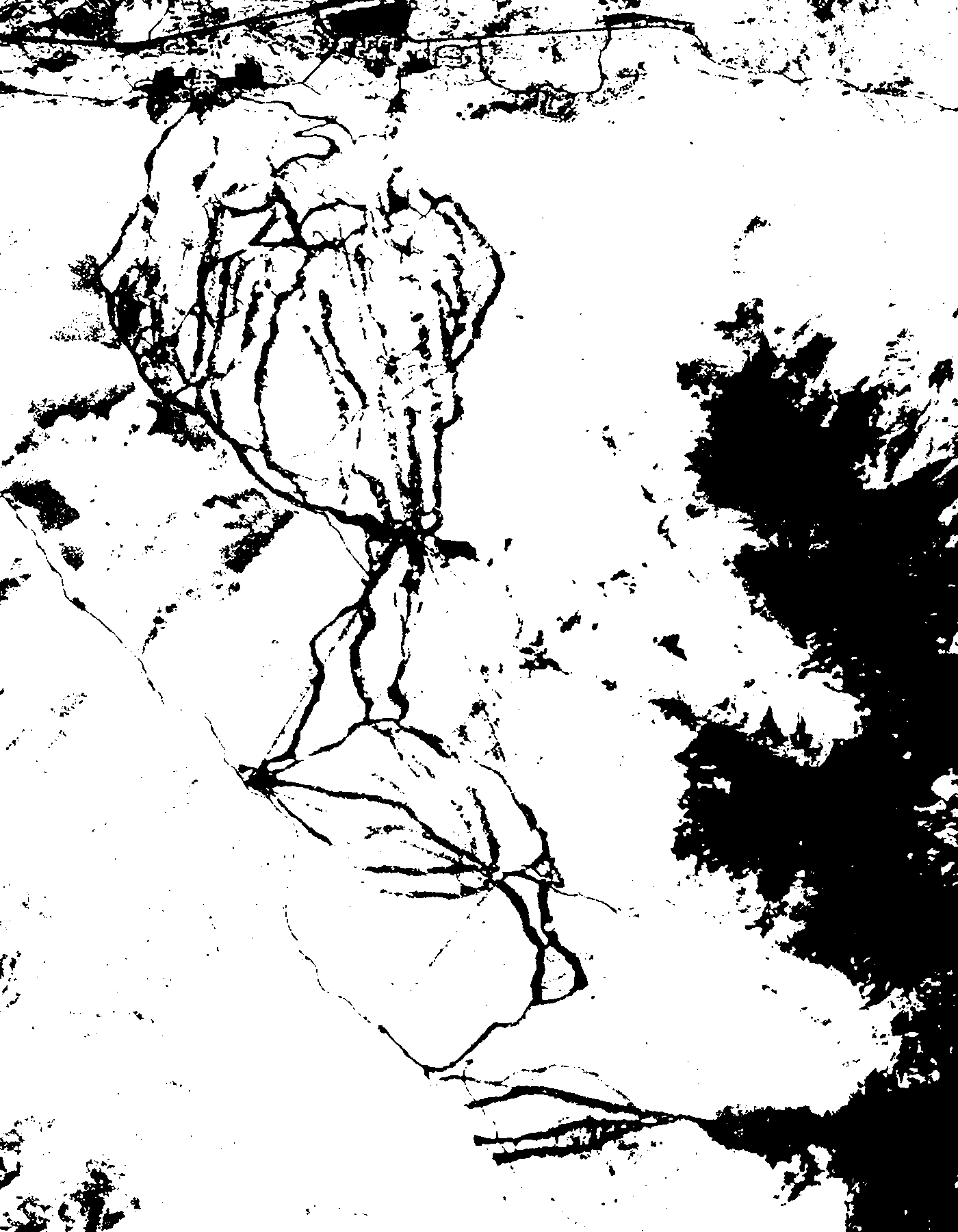
Forest blocks use a reproducible classification of public-domain USDA NAIP imagery acquired on 22 September 2019. Trees stay within the estimated footprint below the illustrative treeline, with narrow gaps for mapped routes; source-tagged glades retain forest. Historic photographs can omit newer clearings. Shadows, dark grass and small trees can be misclassified. Individual tree shapes and heights remain illustrative.
Forest source, classifier and hashes · Classified reference mask
Sources and limits
USDA / USGS NAIP: public-domain imagery dated 22 September 2019. Esri / Vantor World Imagery was inspected as a reference only, with reported acquisition dates across this area from August 2023 to July 2025. No proprietary image pixels or newly traced coordinates are included in the map or this page. Bergman's visible terminal structures were under construction in the August 2023 reference; this is not final engineering certification.
- Operator's Bergman/Erickson route list and project description
- Official trail map
- USGS NAIP source
- Recent imagery source and attribution
- Measurements, model hash and remaining limits
- Mapped route database, OpenStreetMap contributors, ODbL 1.0
Current operation, actual snow cover and every route/edge are outside this review.